จำนวน Repository ( 4 )
การวิเคราะห์ภัยแล้งเพื่อบริหารจัดการน้ำโดยใช้ระบบสารสนเทศภูมิศาสตร์
The study of drought factors to analyze and manage water is very important. The main contributing factor to drought is unusual summer weather wind pressure and air mixtures include water vapor and water droplets. In this factors can be analyzed for rainfall in the lower central river basin area and the preliminary data of the research used to analyze drought from Thai Meteorological Department (TMD). This research analyzes the factors that cause drought including rainfall temperature pressure wind and precipitation. The Multiple linear regression analysis used to determine the relationship of factors causing drought. It was found that rainfall had a statistically significant relationship with temperature and pressure. In addition using the Geographic Information System (GIS) an analysis of rainfall in the lower central river basin from October 1920 to September 2021 to found that from August to October there is a lot of heavy rainfall according to the multiple linear regression equation. Therefore the created multiple linear regression equations can be effectively used in the analysis of drought areas in the lower central river basin area.

Technical specification and Agreement for the map system of RMUTK
The development and update a map in Rajamangala University of Technology Krungthep in geographic information system with the measurement map system in a large scale map by use theoretical surveying all basic such as ground surveying aerial photogrammetry remote sensing theory Processing and the accuracy validation survey. These are part of a map system. Methodology or procedures all a map system will out technical specification and agreement to implementation a map system for the definition purposes. This Technical specification and agreement are under the standards of the organization and institution in a field survey. Those standards or rules taken improve the application to modify the Technical specification and agreement of Rajamangala University of Technology Krungthep only. The results of the study can be divided into main data 9 groups and 30 groups of data from geography at Rajamangala University of Technology Krungthep and standards or rules of organization institution together with the criteria processing and the criteria acceptance tolerances of the measure survey. The results of testing the system map by this the frame of technical specification and agreement. The engineering student survey of Rajamangala University of Technology Krungthep study technical specification and agreement and provides map system. By study used south bangkok area. Student group has set up a system to map the technical specification and agreement created. Plan defined
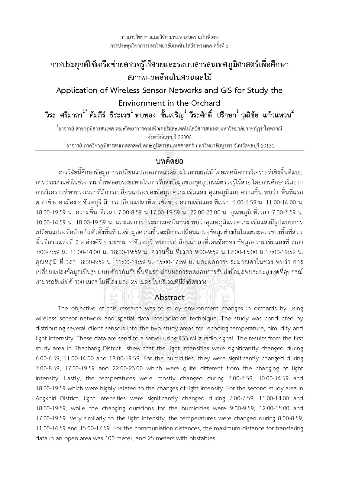
Application of wireless sensor networks and gis for study the environment in the orchard
The objective of this research was to study environment changes in orchards by using wireless sensor network and spatial data interpolation technique. The study was conducted by distributing several client sensors into the two study areas for recoding temperature himudity and light internsity. These data are send to a server using 433 MHz radio signal. The results from the first study area in Thachang District shew that the light intensities were significantly changed during 6:00-6:59 11:00-14:00 and 18:00-19:59. For the humidities they were significantly changed during 7:00-8:59 17:00-19:59 and 22:00-23:00 which were quite different from the changing of light intensity. Lastly the temperatures were mostly changed during 7:00-7:59 10:00-14:59 and 18:00-19:59 which were highly related to the changes of light intensity. For the second study area in Angkhiri District light intensities were significantly changed during 7:00-7:59 11:00-14:00 and 18:00-19:59 while the changing durations for the humidities were 9:00-9:59 12:00-15:00 and 17:00-19:59. Very similarly to the light intensity the temperatures were changed during 8:00-8:59 11:00-14:59 and 15:00-17:59. For the communiation distances the maximum distance for transfering data in an open area was 100 meter and 25 meters with obstables.
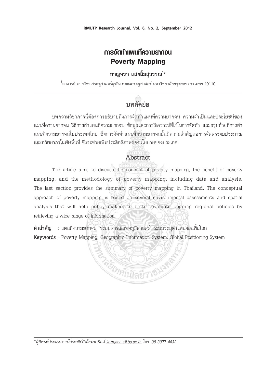
Poverty Mapping
The article aims to discuss the concept of poverty mapping the benef it of poverty mapping and the methodology of poverty mapping including data and analysis. The last section provides the summary of poverty mapping in Thailand. The conceptual approach of poverty mapping is based on several environmental assessments and spatial analysis that will help policy makers to better evaluate ongoing regional policies by retrieving a wide range of information